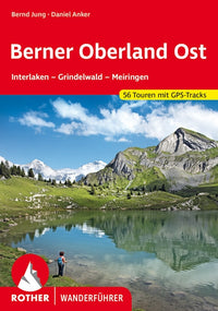
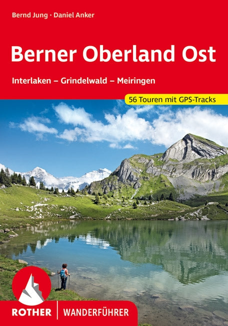
Rother Wanderfúhrer Berner Oberland Ost 56 Touren (9.A 2021)
- Regular Price
- €15,99
- Sale Price
- €15,99
- Regular Price
- Unit Price
- per
Deliver in 1-3 days
| ISBN-EAN | 9783763340125 |
| Uitgever | Rother Bergverlag |
| Jaar van uitgave | 2020 9th edition (November) |
| Land | Switzerland |
| Formaat | 16.5x11.5cm 144 pages. softcover |
| Bindwijze | Paperback |
| Taal | German |
| Levertijd | 1-3 days |
| Auteur | Bernd Jung - Daniel Anker |
| Soort | Hiking guides |
The Bernese Oberland is often referred to as the "playground of Europe". Alpine tourism started here - and especially in the eastern part with the famous tourist resorts of Interlaken, Lauterbrunnen, Grindelwald and Meiringen. Today, the region at the foot of the Eiger, Mönch and Jungfrau is one of the most popular hiking and mountain areas in the Alps. Daniel Anker, one of Switzerland's most renowned Alpine journalists, presents 56 selected one-day and multi-day tours in his Bernese local mountains in the Roth hiking guide "Berner Oberland Ost".
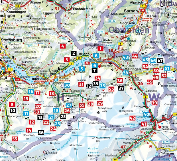
The guided tours leave nothing to be desired: The choice ranges from a walk through the Ballenberg Open Air Museum to the promenade along Lake Brienz and challenging, scenically impressive trails to rewarding viewpoints such as the Schilthorn or the Faulhorn. The tours at the foot of the world-famous Eiger North Face are particularly spectacular. Hut tours are also included in the repertoire of this handy walking guide. All proposed walks are easily accessible by bus or train and can easily be combined into multi-day tours. Together with the "Bernese Oberland West" volume, a network of trails is created that optimally provides access to the entire Bernese Oberland - for day walks and hikes.
The author not only provides precise route descriptions, with his texts and excellent photos he also conveys a lot of enthusiasm for his homeland. Bus connections, refreshment stops and places to stay are provided for each tour, as well as information about variants. Hiking maps with marked routes and elevation profiles make orientation easier. The GPS data can be downloaded from the publisher's website.


