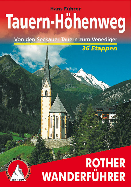
Rother Wanderführer Tauern Höhenweg (4.A 2005)
- Regular Price
- €18,90
- Sale Price
- €18,90
- Regular Price
- Unit Price
- per
Deliver in 1-4 days
| ISBN-EAN | 9783763342631 |
| Uitgever | Rother Verlag |
| Jaar van uitgave | 2005 4th edition |
| Formaat | 11.5x16.5cm 240 pages. softcover |
| Taal | German |
| Levertijd | 1-4 days |
| Soort | Hiking guides |
Not in the country of Großglockner und Großvenediger erstreckt sich auf een Gesamtlänge von etwa 200 Kilometern der Tauern-Höhenweg, der alle Gebirgsgruppen der Niederen und Hohen Tauern von Ost nach West durchquert: Seckauer Tauern, Rottenmanner Tauern, Wölzer Tauern, Schladminger Tauern, Radst ädter Tauern , Ankogelgruppe, Goldberggruppe, Glocknergruppe, Granatspitzgruppe und Venedigergruppe.
Hans Führer , the author of the Special Wandering Führers, describes the paths and paths along the main paths of the new, partly unmarked routes, the paths of the wanderers, and the paths between the girls and the road Held silently and will know unerschlossen Gebirgsgruppen.
All stages, variants, plasterboards as well as the upper and lower limits of the roads, in manchen Passagen durchaus as well as the high roads were described in detail - and the upper night options were described in detail. High profile and detailed maps in the size chart 1:75,000 on the basis of the regional map and the Freytag & Berndt-Wanderkarten helfen bei der Planung und Ausführung der Touren. This is the manual tape in the bag format with over 100 pieces of information and additional color and black photographs illustrated.
The current activities of the Rother Wanderfuhrers were significantly overworked and brought to the new position. Get the motto »The road is the soul« which can also be packed, the open mountain-high road, for the required high altitude of the eastern regions.
